App Review: Pocket Earth
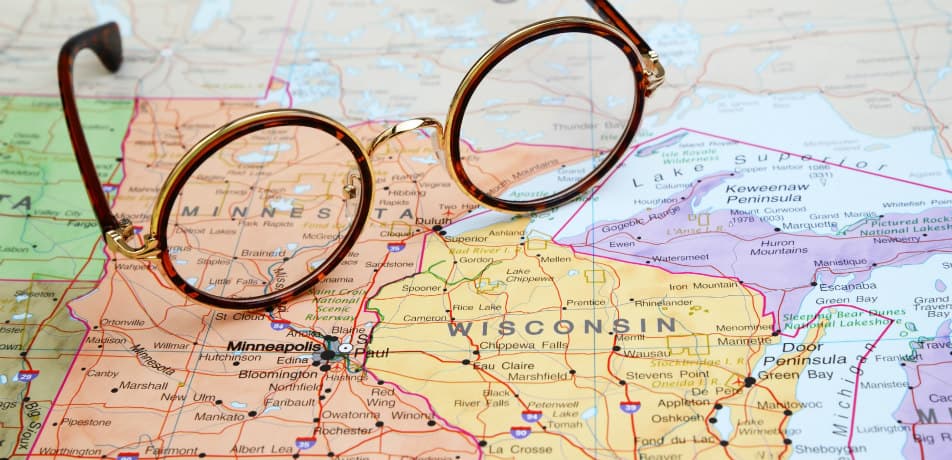
Renting a car in a foreign country can be a budget-friendly way to take the road less traveled, but can also result in getting lost on streets with names you can’t read. GPS technology can keep you on track, but can also be expensive. Renting a GPS for a weeklong European road trip can easily run you $100 above the cost of the car, and buying downloadable maps for your own Garmin or TomTom will cost about the same. Here's a solution that can keep you from breaking the bank - Pocket Earth, a $5.99 app (though right now it's $2.99) that provides turn-by-turn directions without jacking up your phone bill.
Pocket Earth features detailed maps that can be downloaded ahead of time to your iPhone or iPad for offline use. Using GPS, your phone will continue to update your current location and adjust the map with your movements. Here’s the technology secret that makes Pocket Earth possible: when you turn off your phone’s data and cellular connections, its GPS functionality still works. That means you can access a ton of info while you're abroad: maps, routes, and guidebooks, all without data charges or roaming costs.
The app utilizes open data from websites like openstreetmap.org to create vector maps that are rendered on your device in real time, which makes them fast, easy to read, and multi-layered, while still managing to take up less memory than many other navigation apps. Pocket Earth also syncs with websites like Wikipedia to integrate over 500,000 articles on points of interest into the maps themselves.
There are a few downsides to Pocket Earth. Its functionalities are not completely intuitive – it's worth reading the help manual before you leave home. The turn-by-turn directions do not feature audio read out, so you'll likely need a co-pilot to help you navigate. Keeping the GPS active will also significantly shorten your battery life, and you’ll need to find a WiFi connection to add or dramatically change routes while you’re on your trip. However, it is well worth those hassles considering the major cost savings.
There is a "Lite" version that's free, too. All it does, though, is give users a demo of what the paid version will provide. If you're going to Ireland, it might prove to be the most useful, as it let's you play around with the map of Dublin, Ireland.
Latest Articles
8 Bucket List Destinations You Can Cruise to on a Budget
The Best Cruises To Celebrate America’s 250th

10 Tips for Getting the Best Cruise Deals During Wave Season

Why Booking Repositioning Cruises Is a Savvy Move — and the Best Ones To Snag This Spring

Everything You Need To Know Before Chartering Your First Yacht — Which Can Be a Better Deal Than a Mainstream Cruise